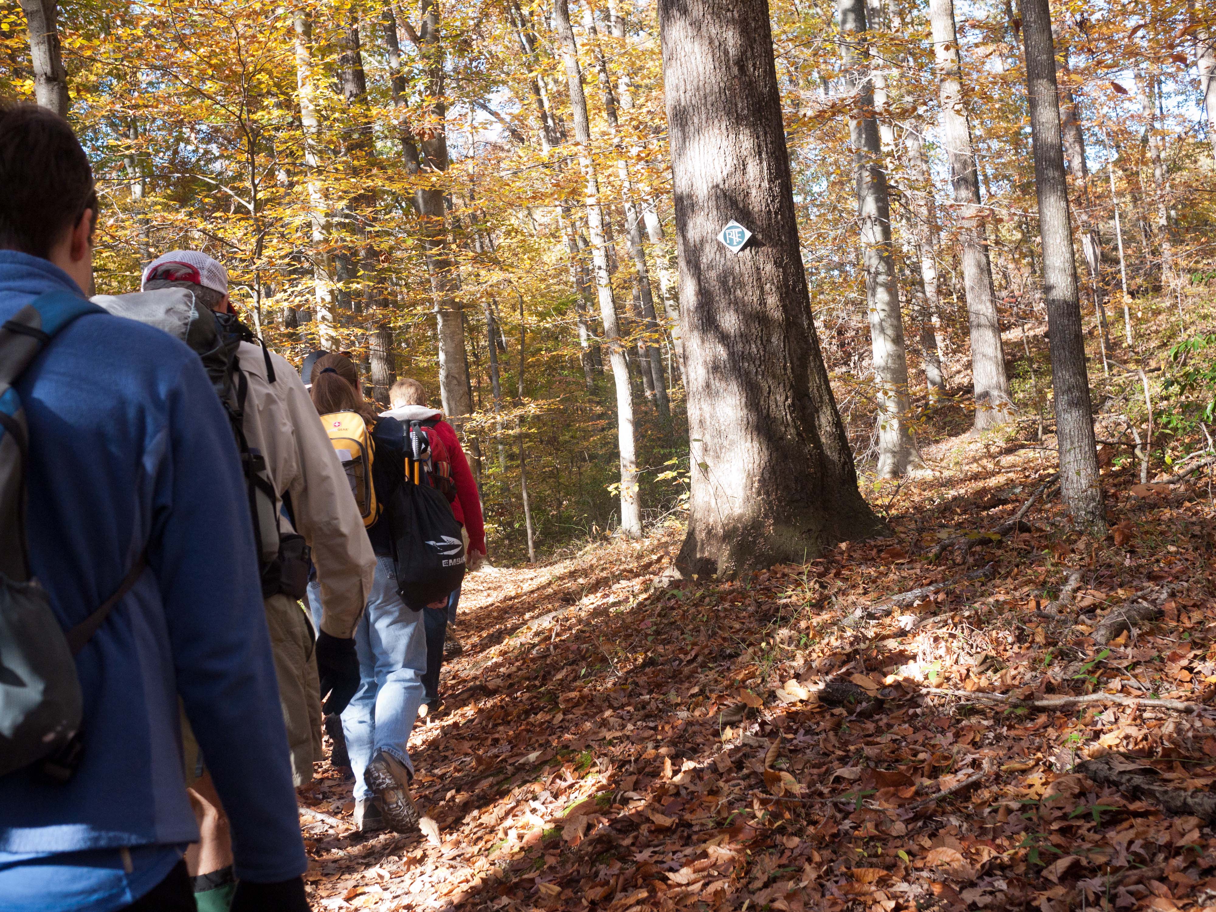
Rivanna Trails
- Welcome
- Explore the Trails
- Guide to the Trail
Guide to the Rivanna Trail
|
| The information below describes the various sections of the Rivanna
Trail loop that circumnavigates the City of Charlottesville, followed by a guide to the River North spur. We have listed
the sections of the loop in counterclockwise order, starting at the Woolen Mills railroad
trestle. In parentheses are the segment length, the cumulative mileage
from Mile 0, and a description of the footing. Our focus is on maintaining the trails suitable for hiking; please note that there may be locations not be suitable for mountain bikers or other users. If you see anything along the Trail that needs attention, please contact the Trail Adopter responsible for that section or RTF at info@rivannatrails.com. |
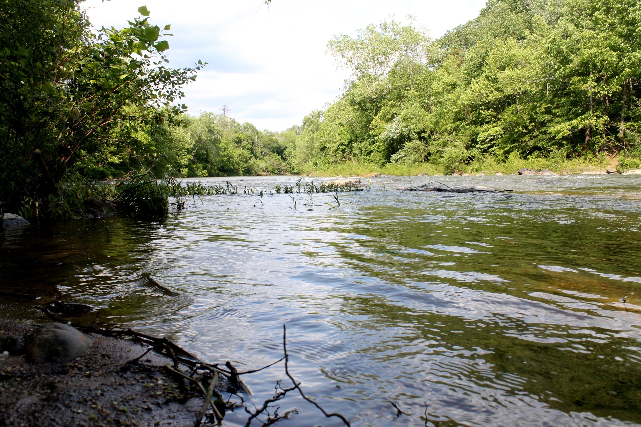
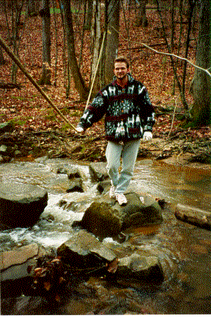
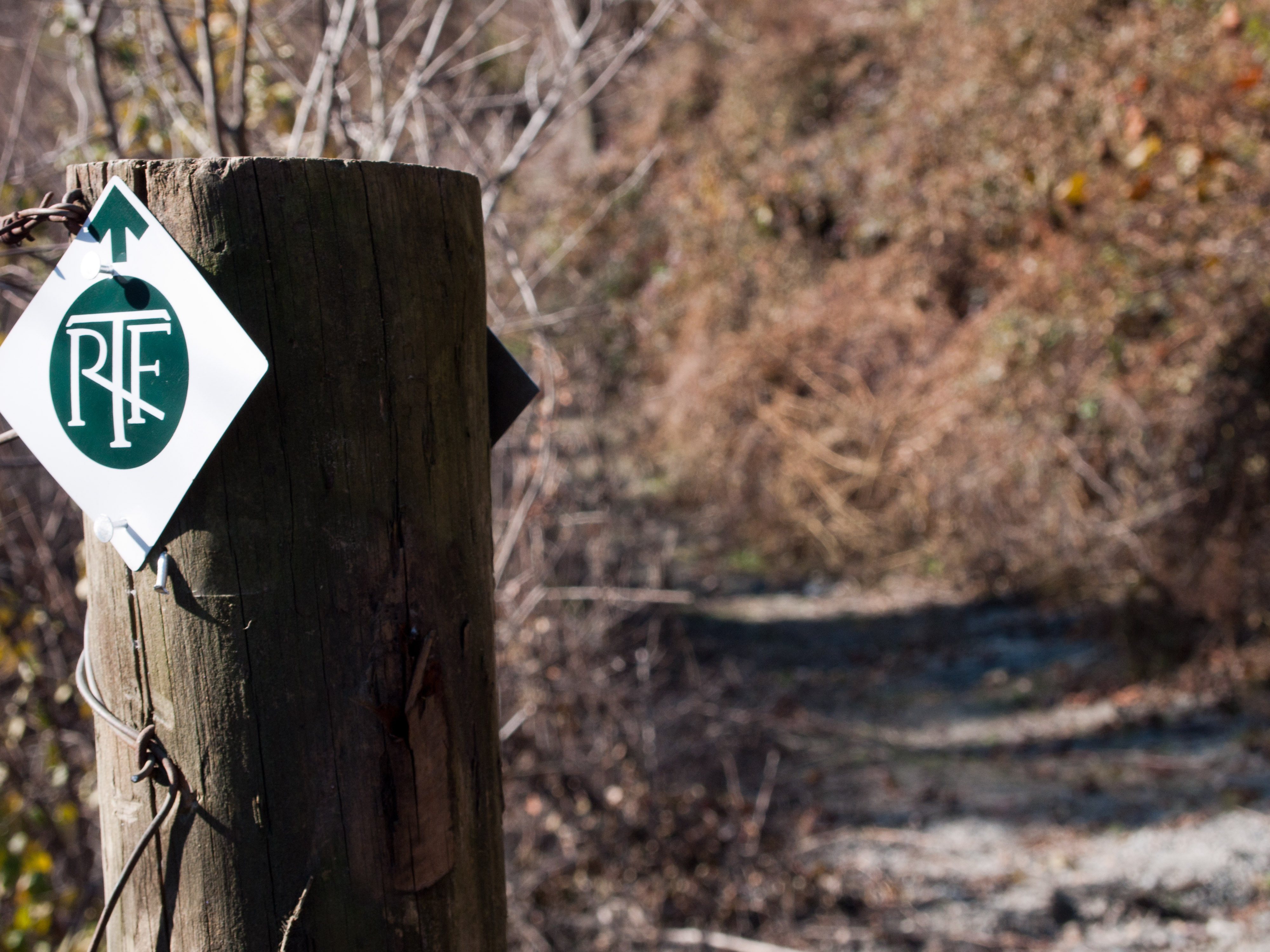 Photograph by Rob Cook
Rivanna Trail Loop
Woolen Mills to Riverview Park
(.41 miles, .41 miles from mile 0, moderate)
Mile 0 is at the railroad trestle. Follow the sandy trail from Moore's Creek to the old Woolen Mills dam site; climb uphill to left. Roadwalk: turn onto E. Market Street, right onto Riverside Avenue, right into the woods just before the entrance to Riverview Park.
Riverview Park to Route 250 at Free Bridge
(1.48 miles, 1.89 from mile 0, easy)
Join the hard-surfaced trail past the playground to the Rivanna River. A spur trail (.39 miles) at the end of the parking lot makes a short loop hike possible within the park.
Route 250 at Free Bridge to Holmes Avenue
(1.64 miles, 3.53 from mile 0, moderate)
Follow hard-surfaced trail to VFW fields. Just past the fields, turn left on the paved trail to River Road. (A rustic trail continues a short distance into the woods to a dead end, but there is no access to River Road.) Right onto River Road, right on Locust Avenue; at the end, turn left on Locust Lane and then take an immediate right onto Megan Court. Look for trailhead sign on the right as you enter Megan Court, and head into forest. At the bottom of the hill, the trail continues along Meadow Creek; a bridge connects to the Lochlyn Hill neighborhood and the River North spur (described below).
Holmes Avenue to Park Street
(.59 miles, 4.12 from mile 0, moderate)
Cross Holmes Avenue and continue to follow Meadow Creek.
 Park Street to the Norfolk-Southern RR underpass
(1.12 miles, 5.25 from mile 0, moderate)
After crossing under the Park Street bridge, walk along Melbourne and turn right onto the Warner Parkway Trail. Follow the paved path for a couple hundred feet; at the bottom of the first hill, turn right at the trail sign to return to the rustic trail. The trail crosses the creek on the Parkway Trail bridge, and then immediately turns left towards the culvert. There are numerous spur trails behind Charlottesville High School, into
McIntire Park, and connecting to Meadowbrook Heights Road
Norfolk-Southern RR Underpass to Greenbrier/Brandywine Drives
(.64 miles, 5.88 from mile 0, easy)
We hope to build a foot crossing through the culvert. It is illegal to cross over the railroad tracks or through the culvert. To bypass the culvert, turn left at the culvert through the kudzu patch and pick up a spur trail leading back to Melbourne (or, back-track along the previous segment or the paved path). Turn right and follow Melbourne past the high school until it ends at Kenwood. Turn right on Kenwood, and follow it until it ends. At the cul de sac, the trailhead returns you to the rustic path through Greenbrier Park. Where the RT meets the paved trail crossing the park, turn right and cross the bridge over the river, then immediately turn left on the gravel path.
Greenbrier/Brandywine Drives to Hydraulic Road
(1.07 miles, 6.95 from mile 0, moderate)
Cross Brandywine Drive; follow the clearing and watch for the rock hop across Meadow Creek on the left. Use caution crossing the creek. A bridge is planned for near this location in the near future.
Hydraulic Road to Emmet Street (Rt. 29)
(.62 miles, 7.57 from mile 0, moderate)
Walk upstream beside Meadow Creek as it makes its way under two major roadways. After passing under Hydraulic Road, turn right at the top of the hill, along the sidewalk over the creek, and then left through the culvert under the 250 Bypass. Continue through forest near City Gardens and the disc golf course. Turn right onto Morton Drive.
Emmet Street to Barracks Road
(1.51 miles, 8.19 from mile 0, easy)
Cross Emmet Street at the signal and proceed strait along Earhart Street to a footbridge on the left. Remain on the trail when traversing the Federal Executive Institute property and stay off the ropes course equipment. Turn left onto Cedars Court. Use caution to cross Barracks Road to rejoin the Trail.
Barracks Road to Old Ivy Road
(1.74 miles, 9.70 from mile 0, moderate)
Follow the headwaters of Meadow Creek, past the remains of the county's 1806 Poor House, through a forest of mountain laurel and chestnut oaks. Cross Leonard Sandridge Drive at the crosswalk, and continue to Old Ivy Road through two large fields, and past a small pond.
Old Ivy Road to Ivy Road (Rt. 250)
(proposed)It is illegal to cross over the railroad tracks. An acceptable detour is to turn left down Old Ivy Road, under the railroad culvert to Ivy Road/Rt. 250, and then along the north side of Ivy Road to a point just past the UVa visitor's center. Use extreme caution to cross Ivy Road.
 Ivy Road to Fontaine Avenue
(1.88 miles, 11.72 from mile 0, moderate)
Start near the 250 Bypass off ramp. Keep your eyes open for RTF blazes that mark the main path around Observatory Hill - there are numerous connecting trails throughout this area.
Fontaine Avenue to Stribling Avenue
(.59 miles, 12.31 from mile 0, moderate)
Cross Fontaine; the trailhead will be to your right. Walk under pines parallel to the 250 Bypass. Where the trail splits, stay to the left and then cross the road (or continue straight and up the hill to the Department of Forestry Nature Trail loop (1 mile), which contains several trees unusual to Virginia, remnants of a 1930s tree nursery, and rejoins the main trail near the railroad trestle.
Stribling Avenue to Sunset Avenue
Turn right on Stribling Avenue, then right again immediately after crossing under the railroad bridge. Pass through the field, cross the driveway, and then descend to the rock hop across Moore's Creek. Use caution crossing the creek. Turn left onto Sunset Avenue Extended; pass the apartment complex, and turn right just before the pedestrian bridge.
Sunset Avenue to Azalea Park
From Sunset Avenue, turn right and walk along the creek to Old Lynchburg Road. Use caution crossing Old Lynchburg Road, and turn right into Azalea Park. Stay to the right of the playing fields, and follow the trail along the river towards the community gardens. Continue down the pathway along the south side of the gardens to Moore's Creek.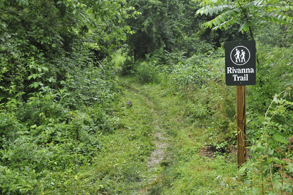 Azalea Park to 5th Street Ext.
(.87 miles, 14.54 from mile 0, moderate)
Use caution crossing the creek; may be impassible in high water. Cross the creek on stepping stones, continue through forest and field. Look for wildlife in the park’s vegetated buffer along Moore’s Creek. At the open playing fields, keep to the left towards the culvert under 5th Street.
5th Street Ext. to Jordan Park
(2.3 miles, 16.84 from mile 0, moderate)Turn left out of the culvert, and then right after crossing the footbridge. The trail crosses under Bent Creek Road, which leads into the 5th Street Station shopping complex, then follows the river around the Willoughby neighborhood. Please keep to the public trail when passing around Willoughby. There's a rockhop across the creek, from where the trail continues to Jordan Park.
Jordan Park to Quarry Park
(1.07 miles, 17.91 from mile 0, moderate)
Cross through Jordan Park, and follow the trail along the creek and under Avon Street. Use caution to walk south along Avon Street; the trailhead is on the left, just before the Self Storage center. Walk along Moore's Creek, then climb a long gentle hill through pines to high bluffs overlooking Charlottesville and on to Monticello Avenue (Route 20).
 Quarry Park to the Woolen Mills
(1.64 miles, 19.55 from mile 0, difficult)
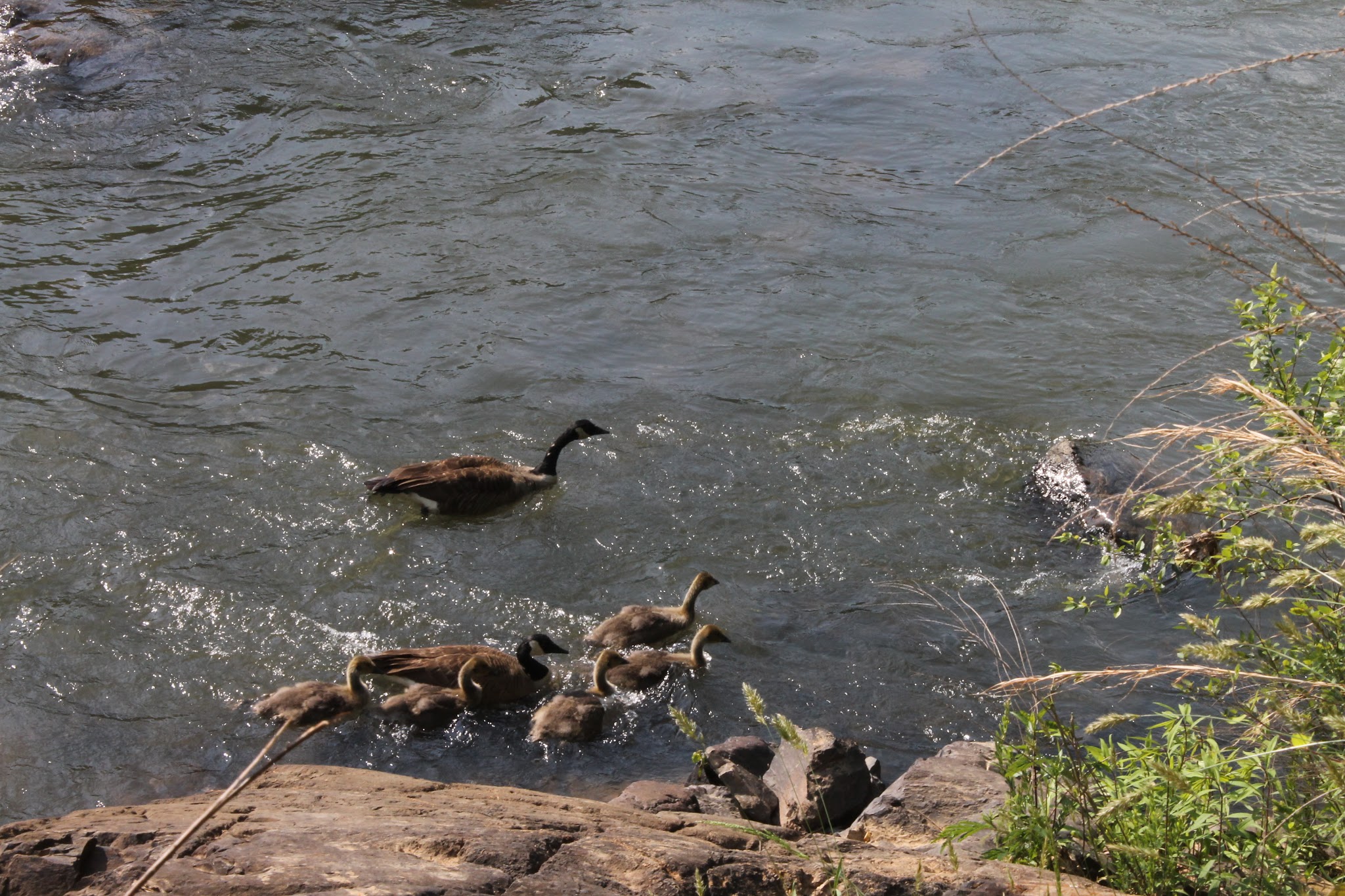
The trail continues under Monticello Avenue, and hugs Moore's Creek as it makes its way to the Rivanna River. Be prepared to scramble over rocks, trample through sand, and see a variety of wildlife, exposed rock cliffs, the old livestock market, and historic mill buildings. Note that some parts of this section are particularly rocky and uneven. Cross the pedestrian bridge, turn right through the Wool Factory property to Market Street.
River North Trail
The River North Trail is a spur of the Rivanna Trail that runs from a point between Locust Lane and Holmes Avenue north through Pen Park, Dunlora, and Belvedere, including an area once known as Free State. In 1788, Amy Bowles Farrow, an interracial free woman of color, bought 224 acres of land that is now Belvedere and part of Dunlora. The area became known as Free State in the 1870s, and was one of the earliest free black communities in Virginia.
Meadow Creek to Pen Park
A bridge connects the Rivanna Trail loop between Locust Lane and Holmes Avenue to the Lochlyn Hill neighborhood. Use caution when crossing through the golf course - please watch for directional signs, and be alert to golfers. The trail returns to the woods alongside the Rivanna River, and turns north past River Run and through Dunlora.
River Run and Dunlora
Please respect signage and stay on the public trails.